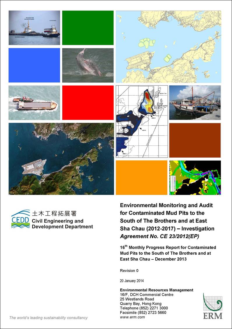
Agreement No.
CE 23/2012 (EP)
Environmental Monitoring and Audit
for Contaminated Mud Pits at the South of The Brothers
and at
14TH
MONTHLY PROGRESS REPORT FOR DECEMBER 2013
1.1
Background
1.1.1
Since early 1990s, contaminated
sediment ([1])
arising from various construction works (e.g. dredging and
reclamation projects) in Hong Kong has been disposed of at a series of seabed
pits at East of Sha Chau (ESC). In
late 2008, a review indicated that the existing and planned facilities at ESC
would not be able to meet the disposal demand after 2012. In order to meet this demand, the Hong
Kong Special Administrative Region Government (HKSARG) decided to implement a
new contained aquatic disposal (CAD) ([2])
facility at the South of The Brothers (SB CMPs) which had
been under consideration for a number of years.
1.1.2
The environmental acceptability of
the construction and operation of the Project had been confirmed by findings of
the associated Environmental Impact Assessment (EIA) study completed in 2005
under
Agreement No. CE 12/2002(EP) ([3]). The Director of Environmental Protection
(DEP) approved this EIA report under the Environmental Impact
Assessment Ordinance (Cap. 499)
(EIAO)
in September 2005 (EIA Register No.: AEIAR-089/2005).
1.1.3
In accordance with the EIA
recommendation, prior to commencement of construction works for the SB CMPs,
the Civil Engineering and Development Department (CEDD) undertook a detailed
review and update of the EIA findings for the SB site ([4]). Findings of the EIA review undertaken in
2009/ 2010 confirmed that the construction and operation of the SB site had
been predicted to be environmentally acceptable.
1.1.4
Environmental Permits (EPs) (EP-312/2008/A
and EP-427/2011A)
were issued by the Environmental Protection Department (EPD) to the CEDD, the
Permit Holder, on 28 November 2008 for East of Sha Chau (ESC) CMP V and on 23
December 2011 for SB CMPs, respectively.
Under the requirements of the EPs, an Environmental Monitoring
and Audit (EM&A) programme as set out in the EM&A Manuals ([5])
([6]) is
required to be implemented for the CMPs.
1.1.5
The present
EM&A programme undertaken under Agreement No. CE 23/2012 (EP)
covers the dredging, disposal and capping operations of the SB CMPs as well as CMPs at East of Sha Chau (ESC).
In December 2013, the following works
were being undertaken at the CMPs:
·
Capping was being undertaken at CMP IVc and
CMP Va;
·
Disposal of contaminated mud was taking place at SB CMP 1; and
·
Dredging operations were taking place at SB CMP 2.
1.2
Reporting Period
1.2.1
This Monthly Progress Report covers
the EM&A activities for the reporting month of
December 2013.
1.3
Details of Sampling and
Laboratory Testing Activities
1.3.1
The
following monitoring activities have been undertaken for CMP IV and V in the monitoring month
of December 2013:
·
Water Quality Monitoring
during Capping was
carried out for CMP IVc and CMP Va
on 3 December 2013; and
·
Benthic Recolonisation
Studies for CMP
IV was conducted on 12 December 2013.
1.3.2
The following
monitoring activities have been undertaken for SB CMPs in December 2013:
·
Impact Water Quality
Monitoring during Dredging Operations was undertaken for CMP 2 three times per week
(2, 4, 6, 9, 11, 13, 16, 18, 20, 23, 27, 29 and 31 December 2013);
·
Water Column Profiling for CMP 1 was undertaken on
5 December 2013;
·
Cumulative Impact Sediment
Chemistry was
conducted for CMP 1 on 10 December
2013; and
·
Pit Specific Sediment
Chemistry was
conducted for CMP 1 on 17 December 2013.
1.4
Details of Outstanding Sampling and/or Analysis
1.4.1
No outstanding
sampling remained for December
2013. The following laboratory analyses were
still in progress during the preparation of this monthly report and hence were
not included in this monthly report:
·
Laboratory
analyses of sediment samples collected for Pit
Specific Sediment Chemistry of CMP 1 in
November and December 2013;
·
Laboratory
analyses of sediment samples collected for Cumulative Impact Sediment Chemistry of CMP 1 in December 2013;
and
·
Laboratory analyses of Suspended Solids
(SS) samples collected for Water Quality Monitoring during Dredging Operations of
CMP 2 from 11 to 31 December 2013.
1.4.2
A summary of field activities
conducted are presented in Annex
A.
1.5
Brief Discussion of the Monitoring Results for SB CMPs
1.5.1
Brief discussion of the monitoring results of the following
activities is presented in this 16th
Monthly Report. Detailed discussion will be presented in
the corresponding Quarterly Report.
·
Impact Water Quality
Monitoring during Dredging Operations of CMP 2 conducted from 18 November to 9 December 2013;
·
Water Column Profiling of
CMP 1 conducted in December 2013;
·
Routine Water Quality
Monitoring of CMP 1 undertaken
from 17 October to 30 November 2013; and
·
Pit Specific Sediment
Chemistry of CMP 1 conducted in October 2013.
1.5.2
Impact Water
Quality Monitoring during Dredging Operations of CMP 2 – 18 November to 9 December 2013
1.5.3
Monitoring data collected for CMP 2 from 18 November to 9 December 2013 are presented in
this monthly report. Detailed
discussion will be presented in the corresponding Quarterly Report.
1.5.4
Impact Water Quality Monitoring during Dredging
Operations of CMP 2 (i.e. from 18 November to 9 December 2013) was conducted three
times per week for a total of nine (9) sampling days. On each survey day, sampling was
conducted during both mid-ebb and mid-flood tides at two Reference (Upstream)
stations upstream and five Impact (Downstream) stations downstream of the
dredging operations at CMP 2.
Monitoring was also conducted at five Sensitive Receiver Stations (Ma
Wan, Shum Shui Kok, Tai Mo
To and Tai Ho Bay). A total of
twelve stations were monitored and locations of the sampling stations are shown
in Figure 1.1.
1.5.5
Monitoring results from 18 November to 9 December 2013 are presented in Table C1 of Annex C. Levels of Dissolved Oxygen (DO),
Turbidity and SS generally complied with the Action and Limit Levels (see Table C2 of Annex C
for details) set in the Baseline Monitoring Report ([7]),
except for the following occasions of exceedances
shown in Table 1.1 below.
Table 1.1 Details of exceedances recorded at SB CMP 2 in November/ December 2013
|
Date |
Tide |
Parameter |
Station |
Type |
|
18 November 2013 |
Mid-Ebb |
SS |
DS1 |
Action |
|
|
|
SS |
DS2 |
Action |
|
20 November 2013 |
Mid-Flood |
SS |
DS2 |
Action |
|
|
|
SS |
DS4 |
Action |
|
|
|
SS |
DS5 |
Action |
|
22 November 2013 |
Mid-Ebb |
SS |
WSR46 |
Action |
|
|
Mid-Flood |
SS |
DS4 |
Action |
|
|
|
SS |
DS5 |
Action |
|
25 November 2013 |
Mid-Ebb |
SS |
DS1 |
Action |
|
|
Mid-Flood |
Turbidity |
DS1 |
Limit |
|
|
|
SS |
DS1 |
Limit |
|
|
|
SS |
DS2 |
Action |
|
29 November 2013 |
Mid-Flood |
Turbidity |
DS1 |
Limit |
|
|
|
SS |
DS1 |
Limit |
|
2 December 2013 |
Mid-Flood |
SS |
DS1 |
Action |
|
6 December 2013 |
Mid-Flood |
SS |
WSR45C |
Action |
1.5.6
Exceedances
at DS1 and other stations were detected during the same tidal period on 18
(mid-ebb) and 25 November 2013 (mid-flood). Exceedances at
DS1 only were also recorded on 25 November (mid-ebb), 29 November (mid-flood)
and 2 December 2013 (mid-flood) whilst no exceedances
at other stations were detected during the same tidal period on the same
day. These exceedances
did not indicate any trend of increasing SS or Turbidity levels toward the
dredging operations or any
evidence of unacceptable water quality impact as a result of the dredging
operations at the CMP 2.
1.5.7
It should be noted that the exceedances on 20 November (mid-flood tide), 22 November
(mid-ebb and mid-flood tides) and 6 December 2013 (mid-flood tide) were
recorded at stations which are located further away from the works area when
compared to station DS1 at which the levels of SS, Turbidity and DO did not
exceed the Action and Limit Levels during the same tidal period on the same
day. As such, these recorded exceedances are not likely to be caused by the dredging
works at CMP 2.
1.5.8
Instead, high levels of Turbidity
and SS and low levels of DO were occasionally recorded during baseline
monitoring which are considered to be sporadic events and characteristic of
water quality in this area of Hong Kong.
Therefore, the Action and Limit Level exceedances
may be caused by natural background variation in water quality of the area.
1.5.9
Overall, the results indicated that
the dredging operations at CMP 2 did not appear to cause any unacceptable
deterioration in water quality during this reporting period. Therefore, no further mitigation
measures, except for those recommended in the Environmental Permit (EP-427/2011/A),
are considered necessary for the dredging operations.
1.5.10
Water Column Profiling for CMP 1 – December 2013
In-situ Measurements
1.5.11
Water Column Profiling was
undertaken at a total of two sampling stations (Upstream and Downstream
stations) in December 2013. The water quality monitoring results for December 2013
have been assessed for compliance with the Water Quality Objectives (WQOs) set
by EPD. This
consists of a review of the EPD routine water quality monitoring data for the
dry season period (November to March) of 2003-2012 from stations in the Northwestern Water Control Zone, where the CMPs are located. For Salinity, the average value obtained
from the Upstream station was used for the basis as
the WQO. Graphical presentation of
the monitoring results is provided in Annex
B.
1.5.12
Analyses of results for December
2013 indicated that levels of Salinity, pH and DO complied with the WQOs at
both Upstream and Downstream stations (Figures 1-3 of Annex B). DO and Turbidity complied with the
Action and Limit Levels set in the EM&A Manual ([8]).
Laboratory
Measurements for Suspended Solids (SS)
1.5.13
Analyses of data obtained in
December 2013 indicated that the SS levels at Downstream and Upstream stations
complied with the WQO (Figure 4 of Annex B). In addition, SS levels at all stations
complied with the Action and Limit Levels set in the EM&A Manual.
1.5.14
Overall, the results indicated that
the mud disposal operation at CMP 1 did not appear to cause any deterioration
in water quality during this reporting period.
1.5.15
Routine Water Quality Monitoring for SB CMP 1 – October/ November 2013
1.5.16
The
results for the Routine Water Quality Monitoring conducted on 17, 19, 22, 24, 26, 29 and 31 October
2013 in the wet season and those undertaken on 2, 4, 6, 8, 12, 14, 16, 19, 21,
23, 26, 28 and 30 November 2013 in the dry season have been assessed for
compliance with the WQOs set by EPD.
This consists of a review of the EPD routine water quality
monitoring data for the wet season period (April to October) of 2003-2012 and
the dry season period (November to March) of 2003-2012 from stations in the Northwestern Water Control Zone, where the CMPs are
located.
1.5.17
For Salinity, the average value
obtained from the Upstream Station was used for the basis as the WQO. Daily in-situ monitoring and daily
laboratory results are shown in Tables C3 and C4 of Annex C. Monthly
averaged in-situ measurement and laboratory analyses results for October and
November 2013 are illustrated in Table C5 and C6 of Annex C, with graphical presentation provided in Annex B. Locations
of monitoring stations were presented in Figure 1.2 and 1.3.
In-situ Measurements
1.5.18
Analysis
of results indicated that for all the stations (Impact, Intermediate, Reference
and Ma Wan), both daily and monthly average levels of pH, DO and Salinity
complied with the WQOs (Tables C3 and C5 of Annex C).
1.5.19
Daily and
monthly average levels of DO and Turbidity in October and November 2013
complied with the Action and Limit Levels set in the EM&A
Manual ([9])
(Tables
C3 and C5 of Annex C).
Laboratory Measurements